Welcome to the Woodstock map browser.
If you've used this already, go ahead and close the intro. Click Next for a walk-through of the browser.
You can access data of the following subject for the state of Illinois.
- foreclosure filing/auctions
- mortgage lending
- housing
- income
- jobs
- employment
Data is available on the following geographic levels.
- Census Tract
- County
- Municipality (i.e. Census Place)
- CBSA (Core Based Statistical Area)
Select the dataset and year. Only available years of the dataset show up.
Select the geography to which the data is aggregated. You can also toggle on/off legislative boundary for reference, including:
- Congressional District
- House of Representatives District
- State Senate District
However, data is not aggregated to the legislative boundaries.
Each dataset consists of a few maps related to the subject. Select the map you would like to see.
Toggle on and off a rank number to select geographies with the same rank. Ranks are calculated with in quintiles.
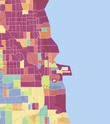
Map Navigation
- Click on the map to see the details of the selected geography which will appear as a popup. By default, all geographies are compared to the state, but you can change it to a smaller geography. The ranking with change accordingly as the map refreshes.
- The Analysis button will bring up graphs of the key statistic traits of the geography.
Search places with town/city names and zipcodes.